This project is done in Houdini. With an road map as input, users can either assign an area as a commercial area or a residential area. Then the tool will randomly distribute buildings in the area and generate bounding boxes so that they will not overlap with each other. Then we can represent those buildings with point cloud. To make it look realistic, we can also paint the height distribution across the commercial area. Thus we can get a stacked point cloud. Lastly we stacked the buildings and the skyline is completed.
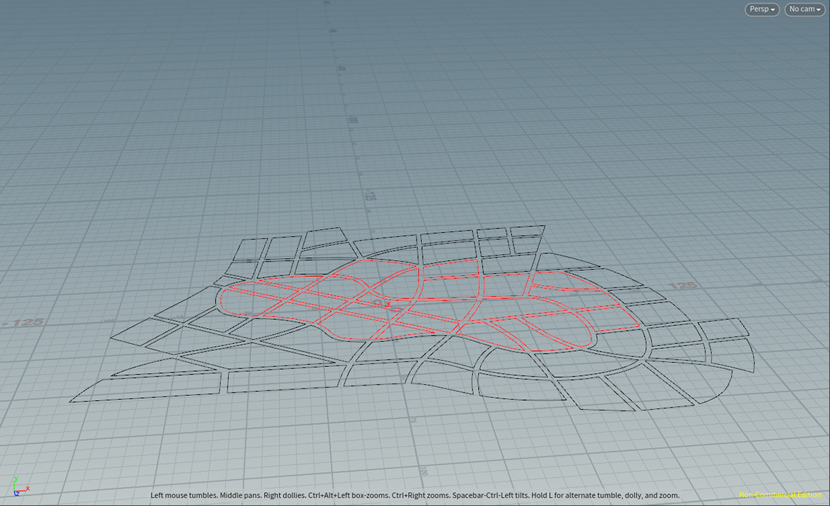
City layout example. Red refers to residential area.
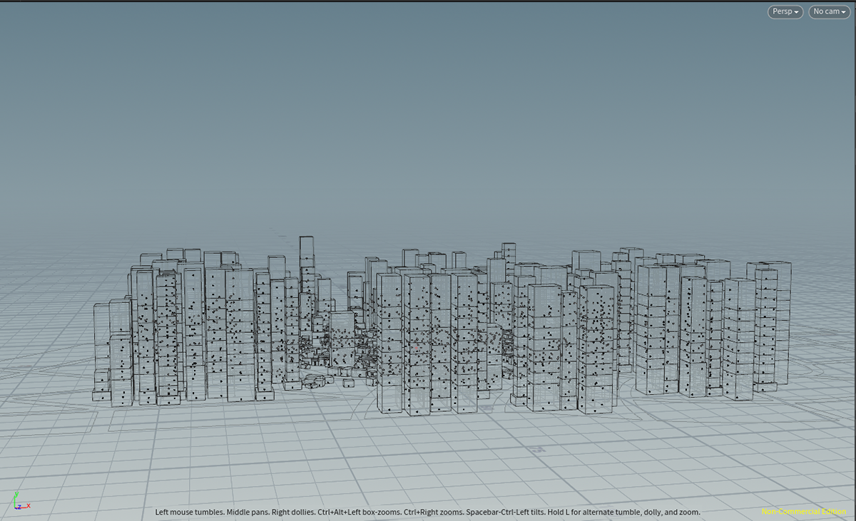
stacked point cloud
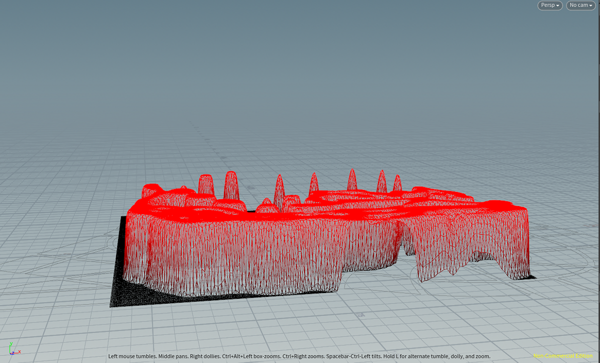
User-painted height distribution
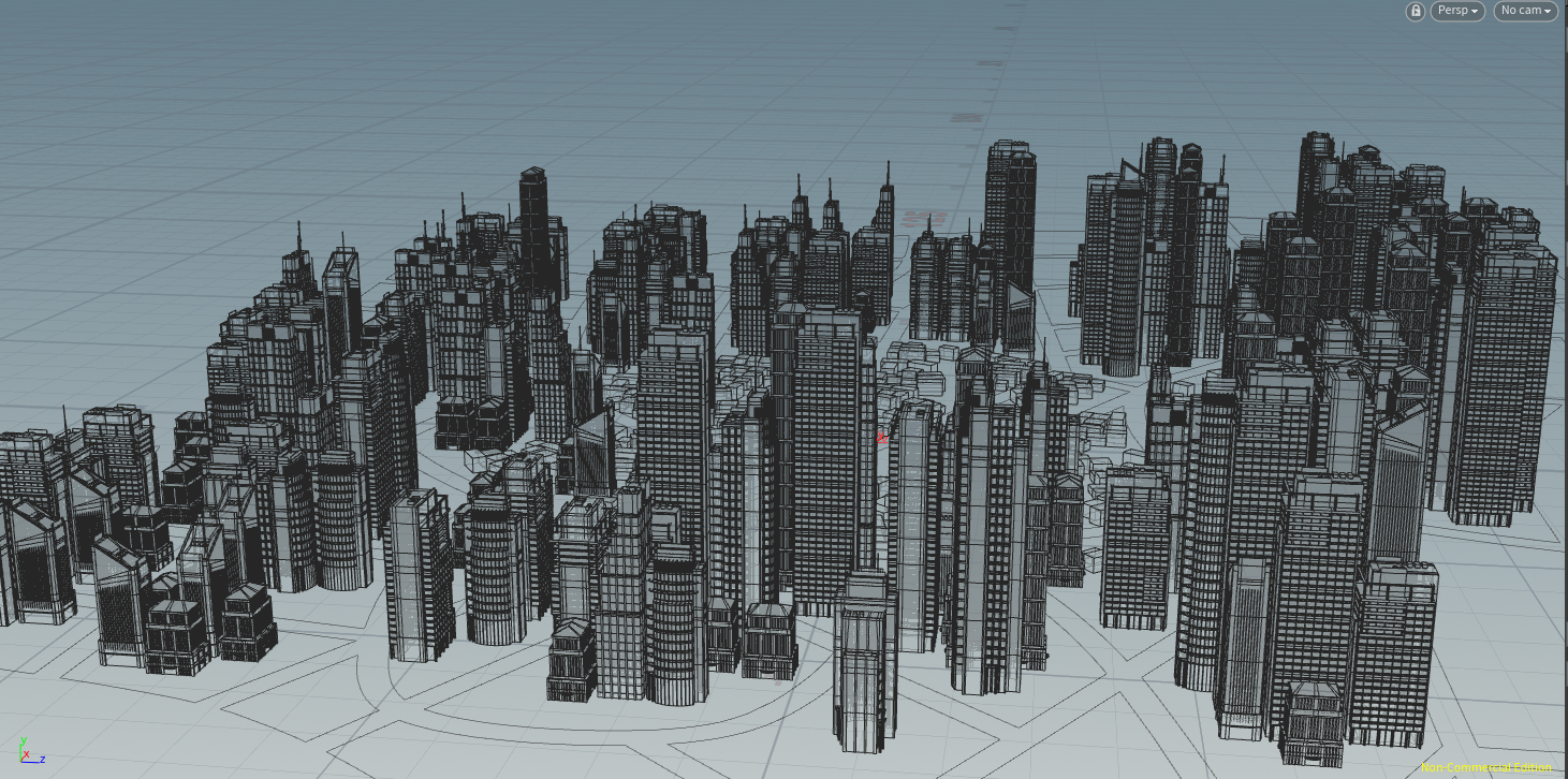
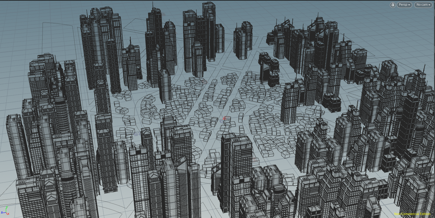
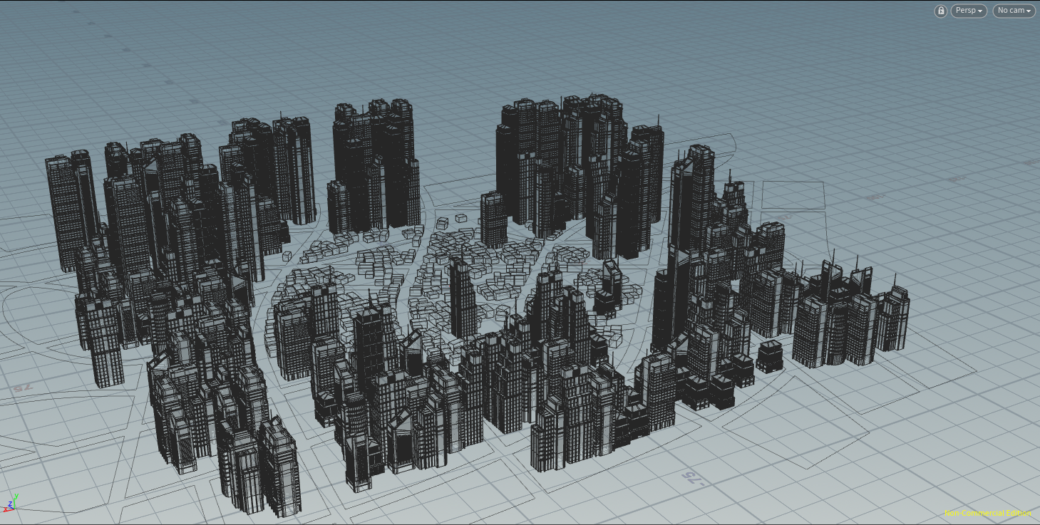
Skyline